
Workers inspect a new map of China at a printing factory.
`Descriptions on maps cannot change the reality on the ground,` NDTV quoted an Indian Foreign Ministry spokesman as responding when asked about China considering Arunachal Pradesh state as part of Tibet in the map.
According to the spokesman, this issue may be raised by Indian Vice President Hamid Ansari during his meeting with Chinese leaders.
“We oppose and condemn (China’s) claim to sovereignty over the state of Arunachal Pradesh.
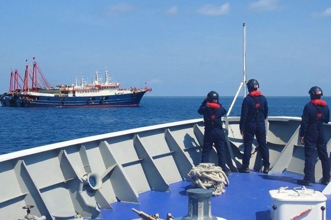
China’s new map, released by the Hunan Province Map publisher, also clearly shows that in addition to China’s mainland, the scope of what the country calls its `sovereignty` also extends throughout the Sea.
The `cow tongue line` that engulfs the East Sea is represented by 10 red segments running consecutively, instead of 9 segments as China previously drew.
Both Vietnam and the Philippines strongly oppose China’s release of the map with the `cow tongue line`.
The Ministry of Foreign Affairs and the Philippine presidential palace also fiercely criticized China, condemning the move that violates international law and clearly demonstrates Beijing’s expansion ambitions in the region.
Beijing on June 25 also argued that the main purpose of releasing the map is `to serve the Chinese public` and said that this document should not be interpreted too deeply.
Location of Arunachal Pradesh state (red dot).